Hello All, I am new this forum In case I make any mistake in posting please ignore it.
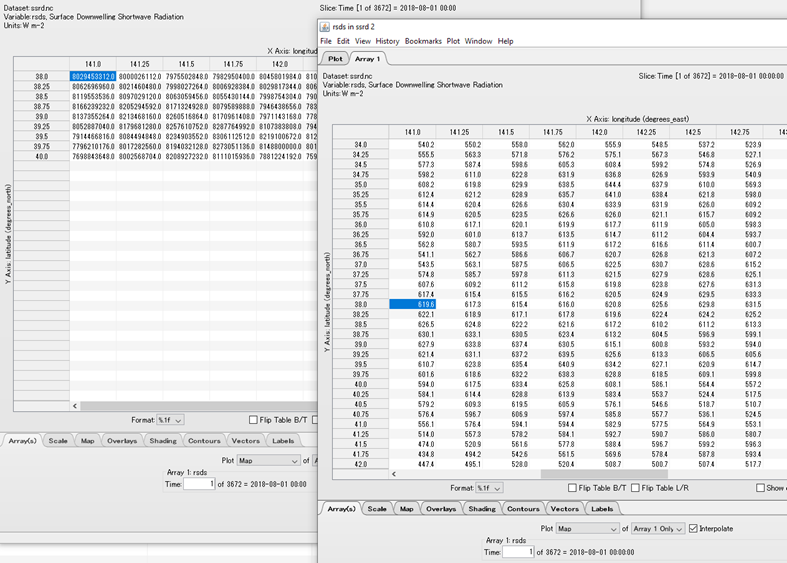
I have downloaded 'Surface solar radiation downwards' data for Lon 141 to 144, lat 38 to 40 for time period 2018(08,09,10,11,12) and 2019(01,02,03,04,05,06,07) hourly data for single levels from 'ERA5 hourly data on single levels from 1979 to present' product on three months before.
Recently I downloaded the same data for same period with larger spatial extent Lon 138 to 148, lat 34 to 42. But there was a change in values of the same product.
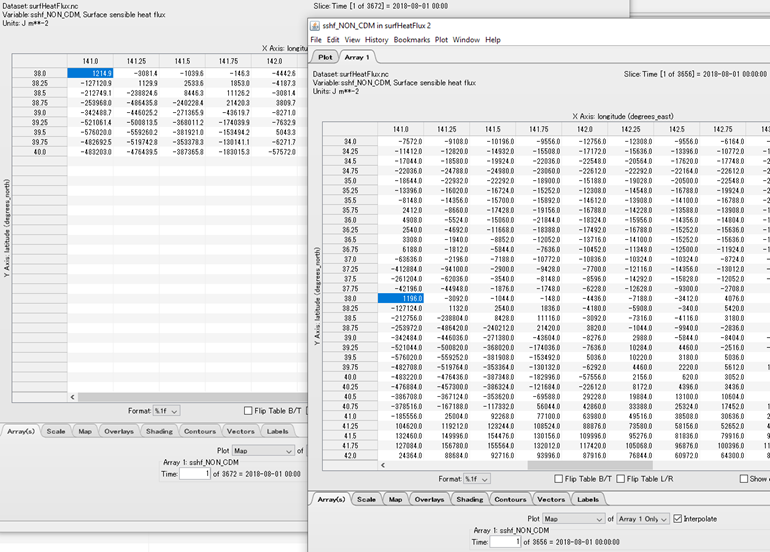
E.g. (38,141) → 8029453312.0 W/m2 as a value when downloaded on 10 September 2019, 17:40:48
and
E.g. (38,141) → 619.6 W/m2 as a value when downloaded on 20 January 2020, 15:03:08
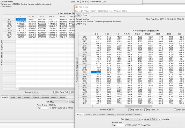
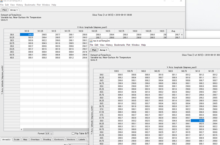
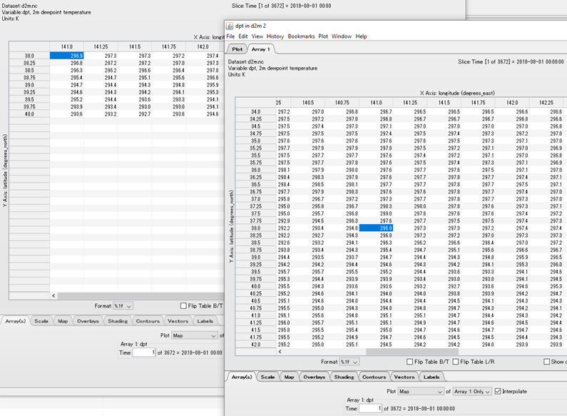
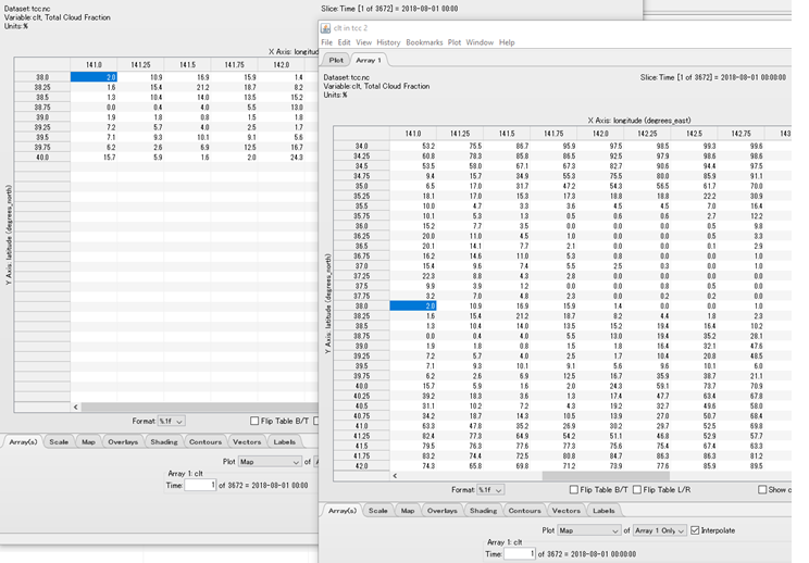
Why there is a change this parameter ? I have not noticed nay change in air temperature, dew point temperature and total cloud cover except a small value in 10^-3 range.
If anyone has any idea please explain me.
Thanks