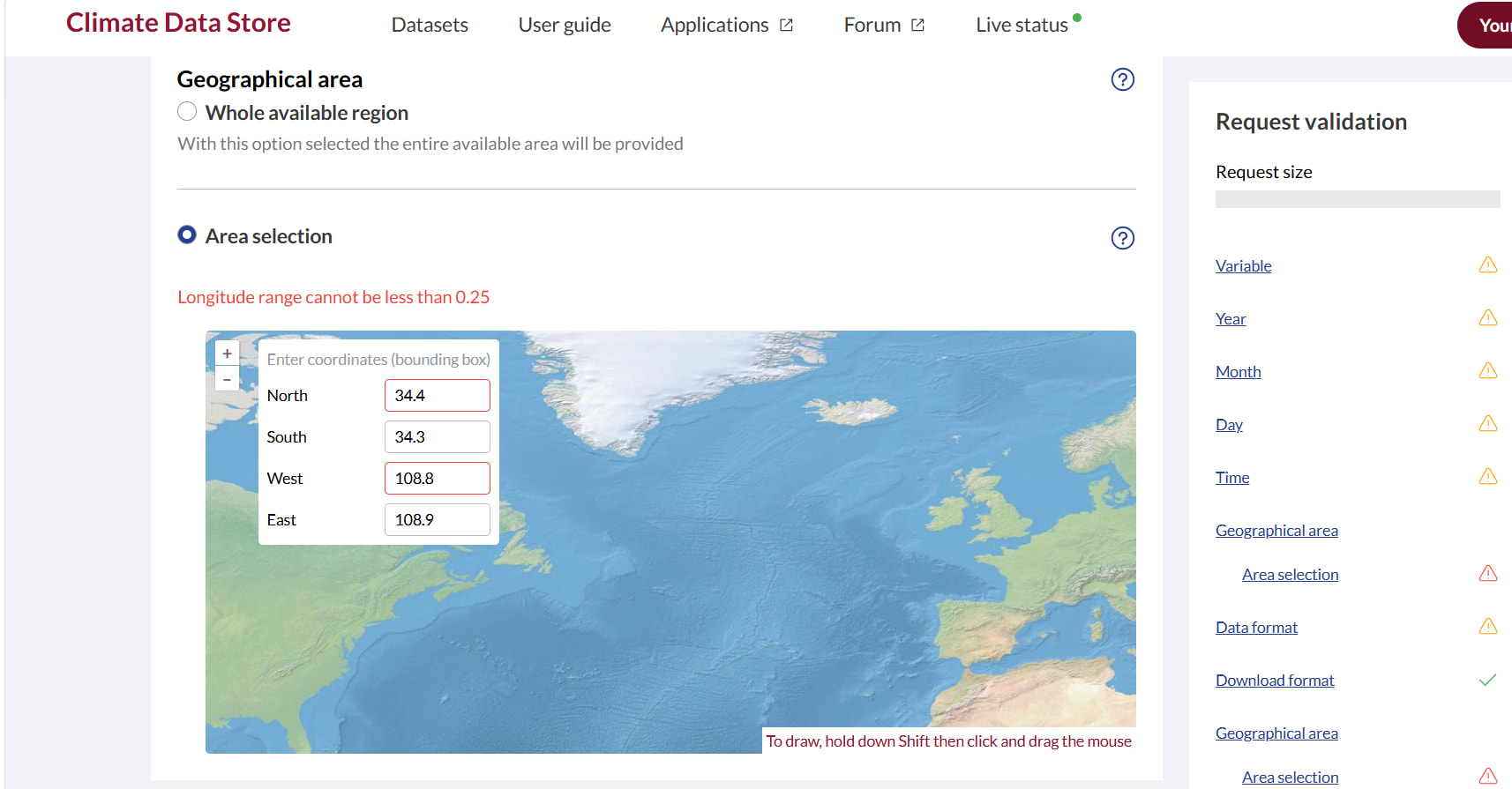
It is stated in the ERA5‑Land documentation that the dataset has a spatial resolution of 0.1 degree. However, as shown in the screenshot, the longitude‑latitude interval is now required to be no less than 0.25 degree in practical use. Previously, data could be successfully retrieved with an interval of 0.1 degree.
Hi,
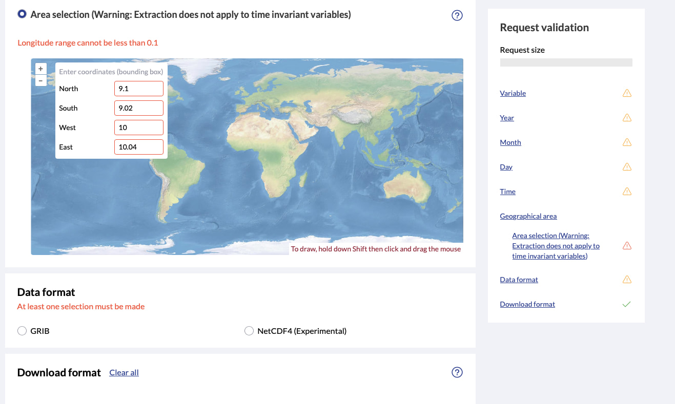
The area selection at ERA5-Land hourly data from 1950 to present shows that the minimum area size is 0.1"
Maybe you are looking at an ERA5 dataset, rather than ERA5-Land?
Thanks,
Kevin